West Malvern Churchyard
The recording of the information and the creation of this website was all carried out by volunteers, in order to share the information with all who might be interested. If you would like support the parish's work to maintain this lovely churchyard perched on the slopes of the Malvern Hills, you can do so via this button:
Donate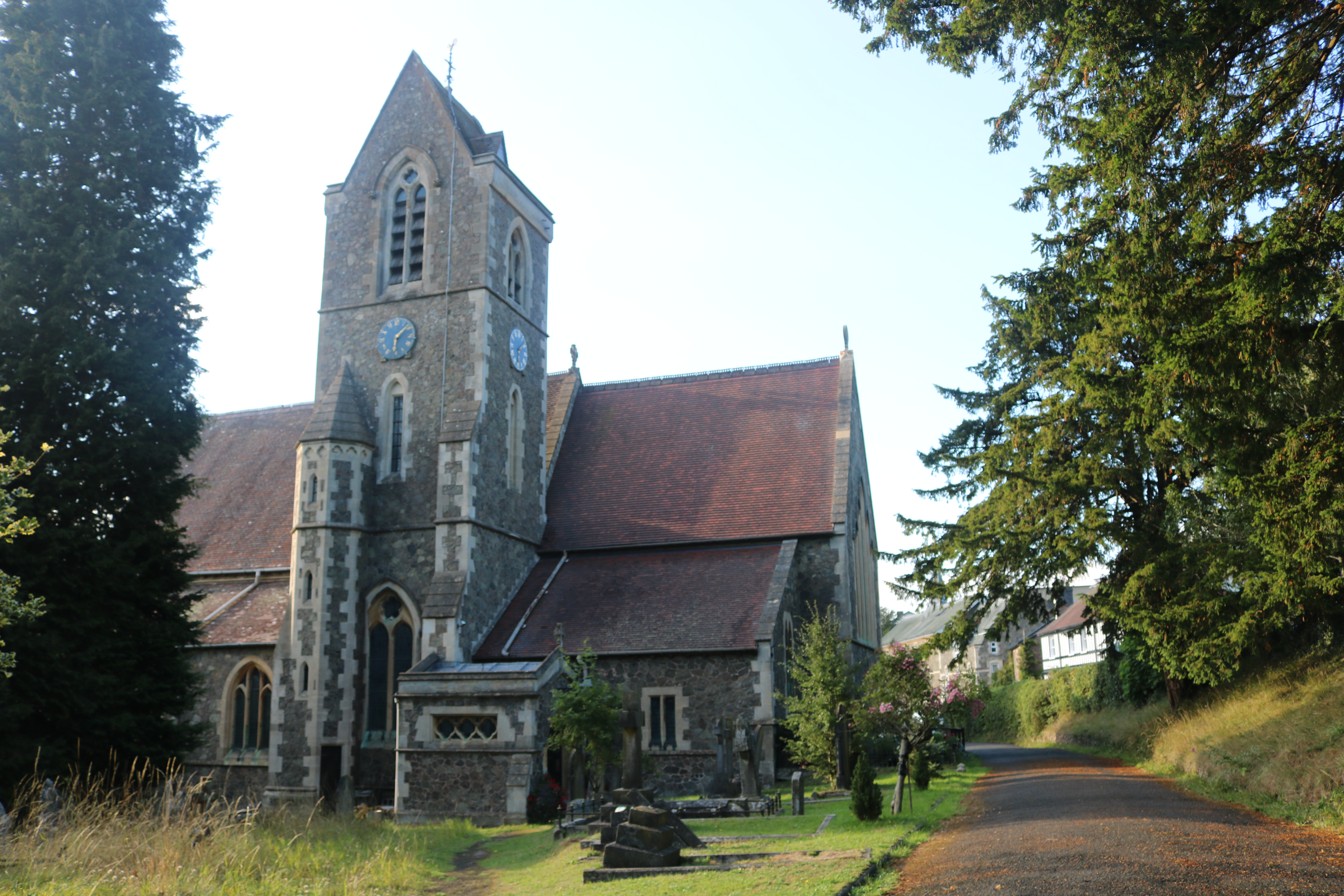
In 2020 we decided to try to record all the graves and memorials in St James’s Churchyard, West Malvern and plot them on a survey carried out by Jim some years before. This decision was inspired by talk of a local history project based on the Village Hall Archives, and was approved by the Churchwarden, David Matthews. We felt that it would be of interest both to others in West Malvern and to those outside the village looking for their families’ resting places, and should be available in church and online if possible.
For this purpose we divided the churchyard into three areas with graves, plus the two gardens of remembrance:
- Area A lies between the church and the Old Vicarage.
- Area B lies between the cattle grid and the main church door.
- Area C is the lower churchyard between the church and De Walden Road.
- Area D, the newer garden of remembrance, is at the western end of Area A.
- Area E, the older garden of remembrance, is to the immediate west of the church.
- Area M is a list of the memorials inside the church with their inscriptions (numbering is clockwise from north door).
The inscriptions particularly on the older graves are often difficult to read and sometimes incomplete. We have included a few comments and translations and these are all in italics.
- A map of burials in areas C and E has come to light, spanning the period from 2nd August 1915 (when the ground was first taken into use) up until 1st August 1926. These include burials without markers, and therefore might be of help to those wishing to confirm the location of a person’s final resting place. References are given to the index number in the parochial burial register, and to the area description on the 1926 map (see Maps page). In many cases only a surname is given on the 1926 burial map.
The data records the gravestones and memorials up to August 2021; any additions to the churchyard since then are not reflected here, although errors, omissions and any queries can be directed here: westmalvernhistory@gmail.com.
- Jim and Jenny Nisbet
(Burial registers for 1845-1951 are available to consult on microfilm at Worcestershire Archive & Archaeology Service, the Hive, Worcester.)